Central Coast reservoirs declining, photos
November 6, 2016
After five years of drought, California reservoirs are only at an average of 46.4 percent of their capacity. With photos taken by the Landsat 7 and Landsat 8 satellites, you can view the changes to four Central Coast reservoirs during the past 15 years.
Both the 2001 and 2016 pictures were taken the same month, in either October or September.
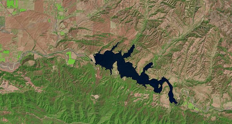
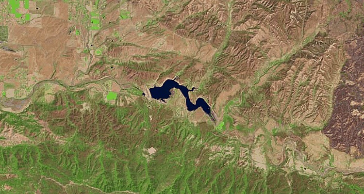
1. Lake San Antonio
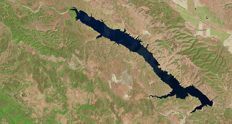
2001
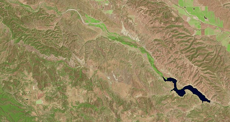
2016
In 2001, Lake San Antonio crossed the border to northern San Luis Obispo County. Now it is located entirely in Monterey County.
2. Santa Margarita Lake
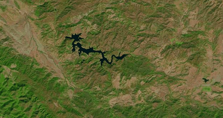
2001
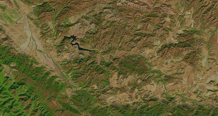
2016
Santa Margarita Lake is located several miles southeast of Santa Margarita in San Luis Obispo County.
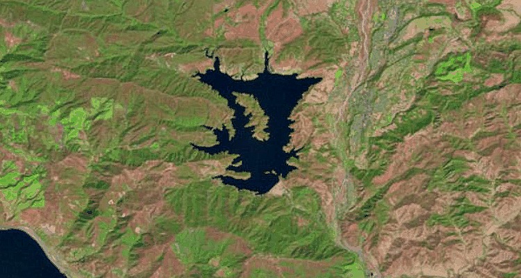
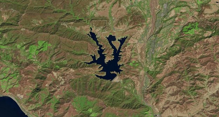
3. Lake Cachuma
2001
2016
Lake Cachuma is located in central Santa Barbara County, on the Santa Ynez River.
4. Lake Casitas
2001
2016
Lake Casitas is located in the Los Padres National Forest in Ventura County.


The comments below represent the opinion of the writer and do not represent the views or policies of CalCoastNews.com. Please address the Policies, events and arguments, not the person. Constructive debate is good; mockery, taunting, and name calling is not. Comment Guidelines