Significant atmospheric river storm headed to the Central Coast
February 11, 2025
By KAREN VELIE
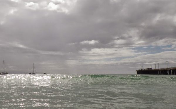
This winter’s biggest atmospheric river storm to date is set to hammer the Central Coast starting late tonight. Expect heavy rain, flooding and high surf from Wednesday night through Friday morning.
The storm could result in rain totals of 1 to 4 inches in lower elevations, with up to 10 inches in the Santa Lucia Mountains.
“Excessive runoff may result in flooding of rivers, creeks, streams, and other low-lying and flood-prone locations,” according to the National Weather Service. “Creeks and streams may rise out of their banks.”
From Thursday morning through late Thursday evening, forecasters warn of southwest winds of 25 to 35 mph with gusts up to 60 mph.
“Damaging winds could blow down trees and power lines,” according to the National Weather Service. “Widespread power outages are possible. Travel could be difficult, especially for high profile vehicles.”


The comments below represent the opinion of the writer and do not represent the views or policies of CalCoastNews.com. Please address the Policies, events and arguments, not the person. Constructive debate is good; mockery, taunting, and name calling is not. Comment Guidelines