A look at San Luis Obispo County rainfall totals, reservoir levels
December 27, 2025
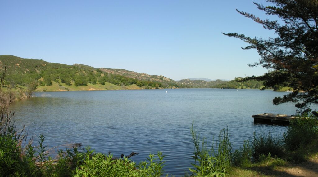
Santa Margarita Lake
By KAREN VELIE
Following an atmospheric river storm that drenched San Luis Obispo County, rainfall totals are well above average in all areas of the county for this time of year, according to the SLO County website. Most areas of the county have received at least 50% above the average rainfall.
State and local reservoir levels remain healthy.
Climate scientists track rain from July 1 through June 31.
Rainfall totals from July 1 through Dec. 27, along with average yearly rainfall:
Arroyo Grande – 10.22 inches to date – average annual 14.09 inches
Atascadero – 9.42 inches to date – average annual 12.06 inches
Lopez Dam – 12.89 inches to date – average annual 18.48 inches
Los Osos – 9.22 inches to date – average annual 15.77 inches
Nipomo – 10.97 inches to date – average annual 12.62 inches
Oceano – 8.45 inches to date – average annual 12.26 inches
Paso Robles – 8.45 inches to date – average annual 14.08 inches
Rocky Butte – 16.31 inches to date – average annual 34.75 inches
San Luis Obispo – 10.36 inches to date – average annual 16.82 inches
San Simeon – 8.36 inches to date – average annual 15.12 inches
Santa Margarita – 12.43 inches to date – average annual 16.96 inches
Shandon – 8.52 inches to date – average annual 8.44 inches
Templeton – 7.88 inches to date – average annual 13.05 inches
Current Central Coast reservoir levels:
- Santa Margarita Lake at 101.6%, SLO County
- Lake Nacimiento at 34% (earlier count), SLO and Monterey counties
- Lopez Lake at 81%, SLO County
- Whale Rock Reservoir at 86% (earlier count), SLO County
- Cachuma Lake at 98%, Santa Barbara County
- Gibraltar Reservoir 101%, Santa Barbara County
- Jameson Reservoir 100%, Santa Barbara County
- San Antonio Lake at 50% (earlier count), Monterey County


The comments below represent the opinion of the writer and do not represent the views or policies of CalCoastNews.com. Please address the Policies, events and arguments, not the person. Constructive debate is good; mockery, taunting, and name calling is not. Comment Guidelines