Check out SLO County rainfall totals, reservoir levels
January 7, 2024
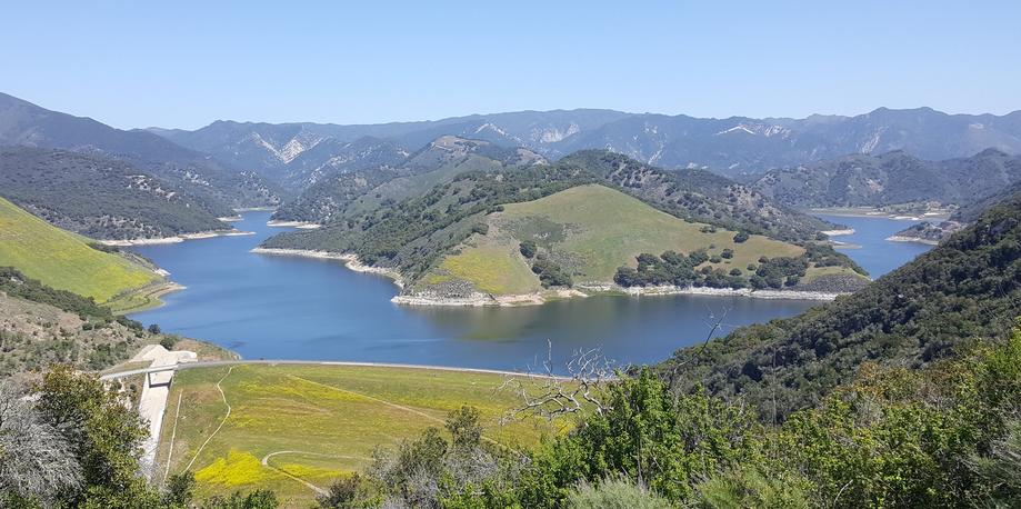
Lopez Lake
By KAREN VELIE
San Luis Obispo County rainfall totals are well above average for this time of year with Paso Robles at 156% of normal. Local reservoir levels remain flat, though healthy.
Climate scientists track rain from July 1 through June 31.
Rainfall totals from July 1 through Jan. 7, along with average yearly rainfall:
Arroyo Grande – 6.30 inches to date – average 14.09 inches
Atascadero – 4.57 inches to date – average 12.06 inches
Lopez Dam – 7.90 inches to date – average 18.48 inches
Los Osos – 5.93 inches to date – average 15.77 inches
Nipomo – 7.89 inches to date – average 12.62 inches
Oceano – 6.13 inches to date – average 12.26 inches
Paso Robles – 7.27 inches to date – average 14.08 inches
Rocky Butte – 29.15 inches to date – average 34.75 inches
San Luis Obispo – 5.02 inches to date – average 16.82 inches
San Simeon – 7.43 inches to date – average 15.12 inches
Santa Margarita – 7.11 inches to date – average 16.96 inches
Shandon –4.56 inches to date – average 8.44 inches
Templeton – 6.24 inches to date – average 13.05 inches
Current Central Coast and major state reservoir levels:
- Santa Margarita Lake at 90.6%, SLO County
- Lake Nacimiento at 58%, SLO and Monterey counties
- Lopez Lake at 96.1%, SLO County
- Whale Rock Reservoir at 91.97%, SLO County
- Cachuma Lake at 90%, Santa Barbara County
- Gibraltar Reservoir 98%, Santa Barbara County
- Jameson Reservoir 100%, Santa Barbara County
- San Antonio Lake at 65%, Monterey County
- Oroville Dam 69%, Butte County
- Trinity Lake at 53%, Trinity County
- Don Pedro Reservoir at 80%, Mariposa County
- New Malones Lake at 83%, Calaveras County
- Shasta Dam at 69%, Shasta County
- San Luis Reservoir at 57%, Merced County


The comments below represent the opinion of the writer and do not represent the views or policies of CalCoastNews.com. Please address the Policies, events and arguments, not the person. Constructive debate is good; mockery, taunting, and name calling is not. Comment Guidelines